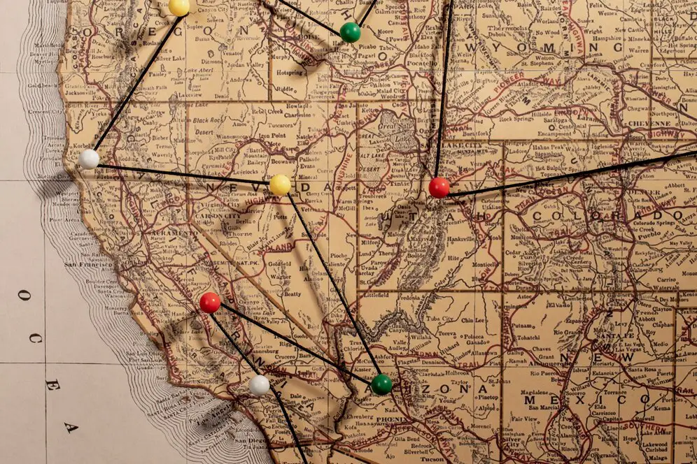
Calculating Map Scale
To calculate a map scale, you can use the formula: \(Scale=\frac{Mapdistance}{Distanceontheground}\)
Steps
- Find the distance between two points on the map
- Find the actual distance between the same two points
- Divide the actual distance by the distance on the map
Example
If the scale is 1:10,000, then 1 cm on the map represents 10,000 cm in real life.
Using a map scale
To calculate the distance between two points on a map, you can:
- Measure the distance on the map in centimeters
- Multiply the distance by the number in the ratio
- Convert the distance to meters or kilometers
The scale of a map depends on its purpose. For example, hiking maps often have a scale of 1:25,000 or 1:50,000.
Example
Understanding Map Scale Calculation
Calculating the scale of a map is essential for understanding the relationship between distances on the map and their actual distances on the ground. This scale is crucial for navigation, map reading, and geographic analysis.
The key concepts of map scale calculation include:
- Map Scale: The ratio or fraction that represents the relationship between a distance on the map and the actual distance on the ground.
- Representative Fraction (RF): A numerical ratio that shows the scale of the map, such as 1:50,000, which means 1 unit on the map is equal to 50,000 units in reality.
- Bar Scale: A visual representation of the map scale, where a line segment represents a specific distance in real-world units.
Steps to Calculate Map Scale
To calculate the scale of a map, follow these steps:
- Measure a known distance on the map, such as the length of a road or river.
- Measure the corresponding real-world distance for that feature.
- Divide the map distance by the real-world distance to determine the map's scale.
Example: If a 5 cm length on the map corresponds to 50,000 cm in reality, the scale is 1:1000 (1 cm on the map = 1000 cm on the ground).
Methods for Calculating Map Scale
Common methods for calculating the map scale include:
- Representative Fraction (RF): This method expresses the map scale as a ratio, such as 1:50,000, showing the proportional relationship between map units and ground units.
- Verbal Scale: A method where the scale is written out in words, for example, "1 inch equals 1 mile," making it easy to understand.
- Graphical Scale: A bar or line scale that represents distances directly on the map, allowing users to measure distances visually.
Factors Affecting Map Scale Calculation
Several factors can influence the accuracy of map scale calculations:
- Map Projection: The type of map projection used can distort distances, especially for large-scale maps or areas near the poles.
- Accuracy of Measurements: The precision with which distances are measured on the map and on the ground can affect the calculated scale.
- Map Type: The scale can differ depending on whether the map is topographic, thematic, or a different type, with each having different levels of detail.
Example: On a topographic map, a scale of 1:25,000 means that 1 centimeter on the map represents 25,000 centimeters on the ground.
Applications of Map Scale Calculation
Map scale calculation is used in various fields:
- Navigation: Determining distances between points on the map to calculate travel time and route planning.
- Urban Planning: Helping city planners design infrastructure projects by understanding the scale of land areas.
- Land Surveying: Assisting surveyors in accurately representing large land areas on maps for legal and development purposes.
- Geospatial Analysis: Enabling researchers to analyze spatial data and create accurate maps for geographical studies.
Example: In land surveying, knowing the scale of a map is crucial for creating accurate boundary markers and legal descriptions of property lines.
Common Operations in Map Scale Calculation
When calculating the scale of a map, the following operations are commonly involved:
- Converting map measurements (inches, centimeters) to real-world units (miles, kilometers, meters).
- Using ratios, fractions, or visual scales to represent the relationship between map distance and real-world distance.
- Ensuring accurate measurements and scaling for specific uses, such as detailed topographic maps or city planning maps.
| Calculation Method | Description | Steps to Calculate | Example |
|---|---|---|---|
| Representative Fraction (RF) | Calculating map scale as a ratio representing the relationship between map distance and real-world distance. |
|
The scale is 1:10,000, meaning 1 cm on the map equals 10,000 cm in reality. |
| Verbal Scale | Using words to express the map scale, such as “1 inch equals 1 mile” to make it easier for users to understand. |
|
A map scale of "1 inch = 1 mile" means that for every inch measured on the map, 1 mile is represented in reality. |
| Graphical Scale (Bar Scale) | Using a visual scale on the map to represent distances, typically shown as a bar divided into real-world units. |
|
A bar scale on the map shows that 1 cm equals 1 km on the ground, which allows users to directly measure distances. |
| Map Measurement Method | Calculating the scale by measuring the distance on the map and comparing it with the actual ground distance. |
|
If the measured distance on the map is 2 cm and the real-world distance is 200 meters, the scale is 1:10,000 (1 cm = 100 meters). |