Calculating Topographic Slope
To calculate the topographic slope of an area, you can use the formula: \(slope\%=\frac{rise}{run}\times 100\)
- Rise: The difference in elevation between two points
- Run: The horizontal distance between the same two points
Steps
- Measure the change in elevation (rise)
- Measure the horizontal distance (run)
- Divide the rise by the run
- Multiply the result by 100
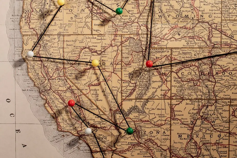
You can also calculate the slope of a topographic map using contour lines. The rise is the difference in elevation between two contour lines, and the run is the horizontal distance between them.
Tools
- Meter stick and level Place the meter stick on the slope and level it off with a level or jar of water
- Surveyor's transit and leveling rod Focus the transit's telescope on the leveling rod to get a reading of the elevation difference
- Clinometer A mini telescope with a protractor attached that can measure the angle of elevation between two points
- Smartphone A smartphone with gyroscopic sensors can provide a surface's slope when placed on the slope
Example
Understanding the Calculation of Topographic Slope
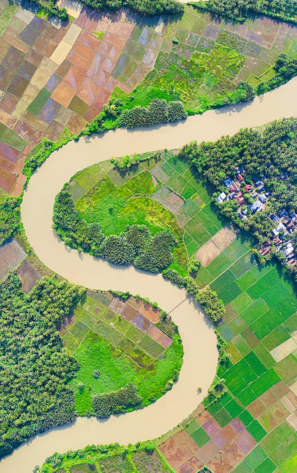
Calculating topographic slope is essential for understanding landforms, water flow, construction projects, and environmental studies. It helps determine the steepness of terrain, which is important for planning roads, buildings, and drainage systems.
The key concepts involved in calculating topographic slope include:
- Topographic Contours: The lines on a map that represent points of equal elevation above sea level.
- Slope Calculation: The change in elevation over a certain horizontal distance, typically expressed as a percentage or angle.
- Application: Slope calculation is vital for land development, flood prediction, soil erosion studies, and infrastructure projects.
Steps to Calculate Topographic Slope
To calculate topographic slope, follow these steps:
- Obtain the elevation data of the land surface at various points (e.g., using a topographic map or GIS data).
- Measure the horizontal distance between two points of interest on the map or in the field.
- Calculate the change in elevation (rise) between the two points.
- Apply the slope formula: Slope = (Rise / Run) × 100, where 'Rise' is the elevation difference and 'Run' is the horizontal distance.
Example: If the elevation difference between two points is 50 meters and the horizontal distance is 200 meters, the slope would be (50 / 200) × 100 = 25%.
Methods for Calculating Topographic Slope
Common methods for calculating topographic slope include:
- Manual Calculation: Using topographic maps to determine the elevation difference between points and applying the slope formula manually.
- GIS (Geographic Information Systems): Software tools that automatically calculate slope from digital elevation models (DEMs) by analyzing elevation data.
- Field Measurements: Using instruments like a clinometer or total station to directly measure slope in the field.
Factors Affecting Topographic Slope Calculation
Several factors affect the precise calculation of topographic slope:
- Elevation Data: Accurate elevation data is crucial for calculating slope. Errors in the data can lead to incorrect slope values.
- Scale of Map: The scale of the topographic map affects the resolution of the elevation data and can influence slope accuracy.
- Terrain Features: The presence of natural features such as ridges, valleys, or cliffs can make slope calculation more complex, requiring more advanced methods.
Example: In mountainous areas, steep slopes may need additional methods, such as a digital elevation model (DEM), to account for irregular terrain.
Applications of Topographic Slope Calculation
Calculating topographic slope is useful in various fields:
- Civil Engineering: Slope calculations are essential for designing roads, bridges, and buildings, ensuring safety and stability on sloped terrain.
- Environmental Science: Slope data helps in studying erosion, runoff, and water flow patterns, aiding in environmental conservation efforts.
- Construction: In construction, accurate slope calculation is crucial for drainage planning, foundation design, and determining soil stability.
- Agriculture: Understanding slopes can help in planning irrigation systems and assessing land suitability for farming.
Example: For a road construction project on a hilly terrain, accurate slope calculations ensure the design accounts for steepness, preventing landslides and facilitating proper drainage.
Common Operations in Topographic Slope Calculation
When calculating topographic slope, the following operations are commonly involved:
- Identifying the relevant points on a map or in the field for which slope needs to be calculated.
- Obtaining accurate elevation data for the selected points, either manually or from digital models.
- Applying slope formulas or using GIS tools to calculate the rise and run and determine the slope value.
- Considering environmental factors, such as soil composition and vegetation, which can affect slope stability.
| Calculation Method | Description | Steps to Calculate | Example |
|---|---|---|---|
| Manual Calculation | Calculates the slope using elevation data from a topographic map, applying the standard slope formula. |
|
If the elevation difference between two points is 30 meters and the horizontal distance is 150 meters, the slope is (30 / 150) × 100 = 20%. |
| GIS (Geographic Information Systems) | Uses digital elevation models (DEMs) to automatically calculate slope across a terrain. |
|
Using a DEM, GIS software can calculate slope for an area, such as determining a 15% slope for a region within a city. |
| Field Measurement | Measures slope directly in the field using instruments like a clinometer or total station. |
|
Using a clinometer, if the measured angle is 10°, the slope can be calculated as tan(10°) = 0.176, or 17.6% slope. |
| Mathematical Formulae | Uses mathematical equations based on the difference in elevation and horizontal distance between two points to calculate the slope. |
|
If the rise is 40 meters and the run is 200 meters, the slope is (40 / 200) × 100 = 20%. |